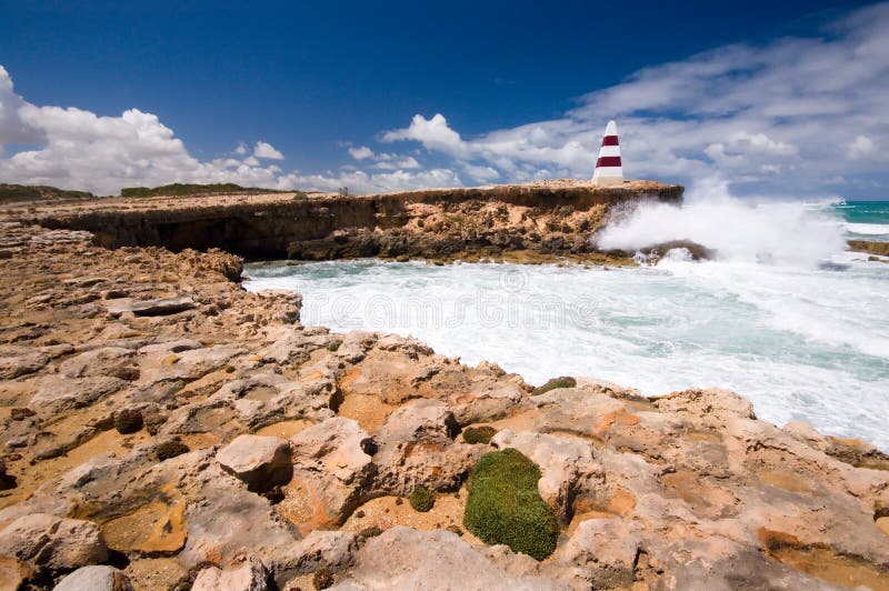
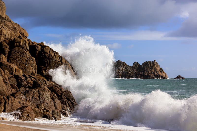
A wave crashes into the coastline next to the Robe Obelisk. Erected on Cape Dombey in 1852, the Obelisk was used to navigate the entrance to Guichen Bay and to store rocket lifesaving equipment. It later assisted passing ships with navigation because its height of 12m (40 ft) makes it visible 20km (12mles) out to sea. The erosion of the land surrounding the obelisk will mean it will eventually fal
圖片編號:
3849821
拍攝者:
Seraphic
點數下載
| 授權類型 | 尺寸 | 像素 | 格式 | 點數 | |
|---|---|---|---|---|---|
| 標準授權 | XS | 480 x 319 | JPG | 13 | |
| 標準授權 | S | 800 x 532 | JPG | 15 | |
| 標準授權 | M | 2124 x 1412 | JPG | 18 | |
| 標準授權 | L | 3008 x 2000 | JPG | 20 | |
| 標準授權 | XL | 3468 x 2306 | JPG | 22 | |
| 標準授權 | MAX | 4248 x 2824 | JPG | 23 | |
| 標準授權 | TIFF | 4254 x 2828 | TIF | 39 | |
| 進階授權 | WEL | 4248 x 2824 | JPG | 88 | |
| 進階授權 | PEL | 4248 x 2824 | JPG | 88 | |
| 進階授權 | UEL | 4248 x 2824 | JPG | 88 |
XS
S
M
L
XL
MAX
TIFF
WEL
PEL
UEL
| 標準授權 | 480 x 319 px | JPG | 13 點 |
| 標準授權 | 800 x 532 px | JPG | 15 點 |
| 標準授權 | 2124 x 1412 px | JPG | 18 點 |
| 標準授權 | 3008 x 2000 px | JPG | 20 點 |
| 標準授權 | 3468 x 2306 px | JPG | 22 點 |
| 標準授權 | 4248 x 2824 px | JPG | 23 點 |
| 標準授權 | 4254 x 2828 px | TIF | 39 點 |
| 進階授權 | 4248 x 2824 px | JPG | 88 點 |
| 進階授權 | 4248 x 2824 px | JPG | 88 點 |
| 進階授權 | 4248 x 2824 px | JPG | 88 點 |










 +886-2-8978-1616
 +886-2-2078-5115


