


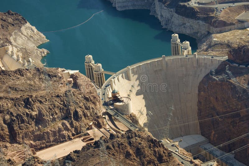
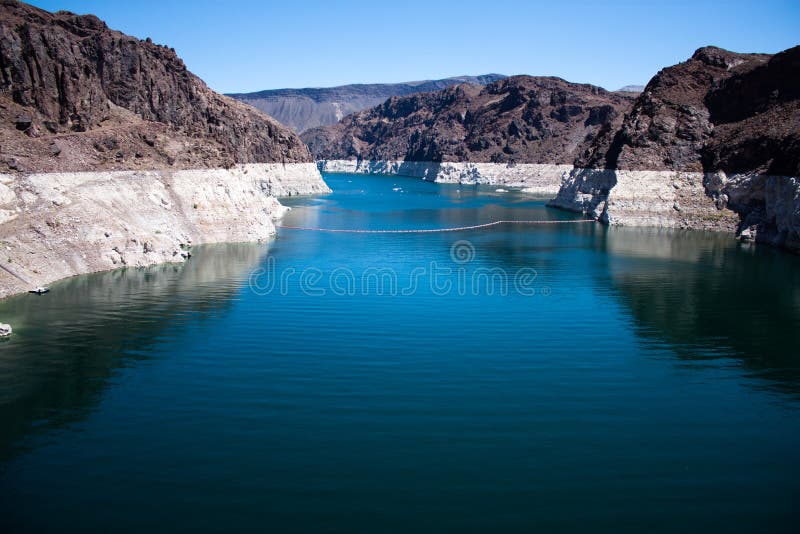
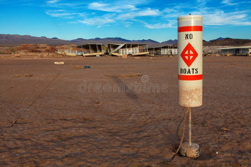
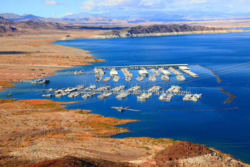
The image shows a part of Lake Mead near Boulder Dam (Hoover) Dam. The land in the foreground, as well as the islands in the center, were at one time under water but because of the drought in the southwest and receding water levels they are now exposed, The large, black hill in the upper center is called Fortification Hill and was formed from volcanic activity about 13 million years ago. The foreground land in in Nevada and the background mountains are in Arizona.
圖片編號:
41133760
拍攝者:
JenningsSayre
點數下載
| 授權類型 | 尺寸 | 像素 | 格式 | 點數 | |
|---|---|---|---|---|---|
| 標準授權 | XS | 480 x 313 | JPG | 13 | |
| 標準授權 | S | 800 x 522 | JPG | 15 | |
| 標準授權 | M | 2143 x 1399 | JPG | 18 | |
| 標準授權 | L | 2767 x 1806 | JPG | 20 | |
| 標準授權 | XL | 3822 x 2495 | JPG | 22 | |
| 標準授權 | MAX | 4287 x 2798 | JPG | 23 | |
| 標準授權 | TIFF | 5405 x 3528 | TIF | 39 | |
| 進階授權 | UEL | 4287 x 2798 | JPG | 88 |
XS
S
M
L
XL
MAX
TIFF
UEL
| 標準授權 | 480 x 313 px | JPG | 13 點 |
| 標準授權 | 800 x 522 px | JPG | 15 點 |
| 標準授權 | 2143 x 1399 px | JPG | 18 點 |
| 標準授權 | 2767 x 1806 px | JPG | 20 點 |
| 標準授權 | 3822 x 2495 px | JPG | 22 點 |
| 標準授權 | 4287 x 2798 px | JPG | 23 點 |
| 標準授權 | 5405 x 3528 px | TIF | 39 點 |
| 進階授權 | 4287 x 2798 px | JPG | 88 點 |


 +886-2-8978-1616
 +886-2-2078-5115


