


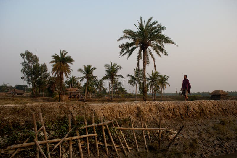
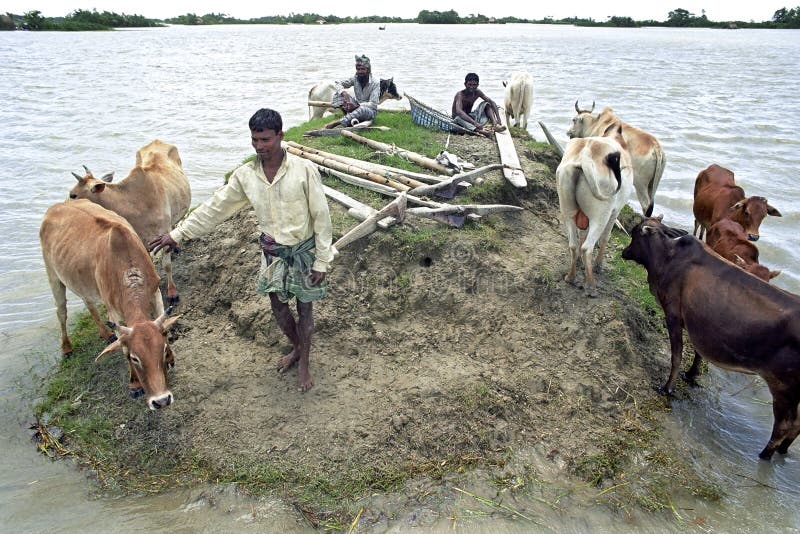
There was the pedestrian road on the barrage beside the river which was vanished on 25th May, 2009, after a super cyclone, AILA divested the livelihoods of Sundarban. Most of the farmlands were under saline water. 90% farmlands of villages were affected by this cyclone; most of the cattleââ¬â¢s were died. The aftermath of devastating cyclone Aila that ravaged large parts of the West Bengal delta May 25 could cause lasting ecological damage to the Sundarban, the world's largest mangrove forest, experts fear. Aila has inundated the entire Sundarban region and displaced thousands of residents in the islands. They have lost everything in the natural calamity.
圖片編號:
41336943
拍攝者:
Bgopal
點數下載
| 授權類型 | 尺寸 | 像素 | 格式 | 點數 | |
|---|---|---|---|---|---|
| 標準授權 | XS | 480 x 321 | JPG | 13 | |
| 標準授權 | S | 800 x 535 | JPG | 15 | |
| 標準授權 | M | 2117 x 1416 | JPG | 18 | |
| 標準授權 | L | 2733 x 1829 | JPG | 20 | |
| 標準授權 | XL | 3457 x 2313 | JPG | 22 | |
| 標準授權 | MAX | 5400 x 3614 | JPG | 23 | |
| 標準授權 | TIFF | 7637 x 5111 | TIF | 39 | |
| 進階授權 | UEL | 5400 x 3614 | JPG | 88 |
XS
S
M
L
XL
MAX
TIFF
UEL
| 標準授權 | 480 x 321 px | JPG | 13 點 |
| 標準授權 | 800 x 535 px | JPG | 15 點 |
| 標準授權 | 2117 x 1416 px | JPG | 18 點 |
| 標準授權 | 2733 x 1829 px | JPG | 20 點 |
| 標準授權 | 3457 x 2313 px | JPG | 22 點 |
| 標準授權 | 5400 x 3614 px | JPG | 23 點 |
| 標準授權 | 7637 x 5111 px | TIF | 39 點 |
| 進階授權 | 5400 x 3614 px | JPG | 88 點 |


 +886-2-8978-1616
 +886-2-2078-5115


