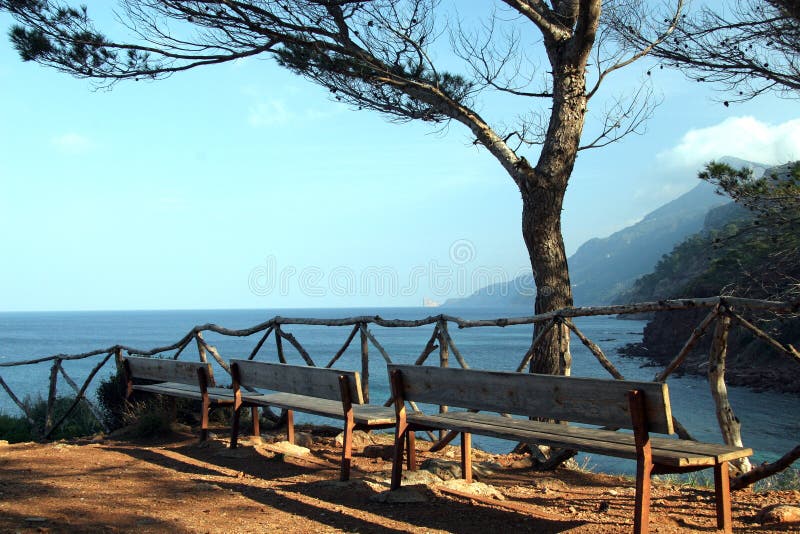
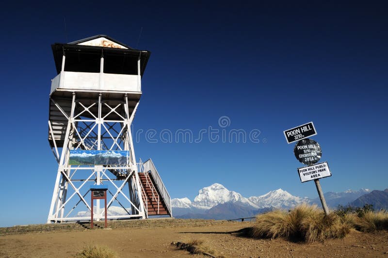
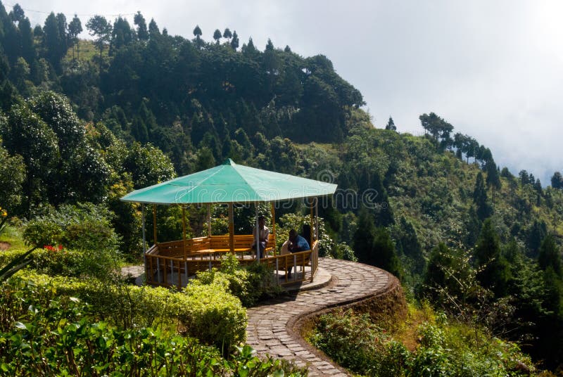
View point Landscape of Payathonsu in the south of Kayin State, Myanmar Look from Tai Ta Ya Monastery or Sao Roi Ton Temple Kayin State (Burmese: Karen State) is a state of Burma (Myanmar).The capital city is Hpa-an also called Pa-An. The relief of Kayin State is mountainous with the Dawna Range running along the state in a NNW - SSE direction and the southern end of the Karen Hills in the northwest. It is bordered by Mae Hong Son, Tak, and Kanchanaburi provinces of Thailand to the east;Mon State and Bago Region to the west and south; Mandalay Region, Shan State and Kayah State to the north.
圖片編號:
42944656
拍攝者:
Tuayai
點數下載
| 授權類型 | 尺寸 | 像素 | 格式 | 點數 | |
|---|---|---|---|---|---|
| 標準授權 | XS | 480 x 318 | JPG | 13 | |
| 標準授權 | S | 800 x 530 | JPG | 15 | |
| 標準授權 | M | 2128 x 1409 | JPG | 18 | |
| 標準授權 | L | 2747 x 1819 | JPG | 20 | |
| 標準授權 | XL | 3475 x 2301 | JPG | 22 | |
| 標準授權 | MAX | 4928 x 3264 | JPG | 23 | |
| 標準授權 | TIFF | 6969 x 4616 | TIF | 39 | |
| 進階授權 | WEL | 4928 x 3264 | JPG | 88 | |
| 進階授權 | PEL | 4928 x 3264 | JPG | 88 | |
| 進階授權 | UEL | 4928 x 3264 | JPG | 88 |
XS
S
M
L
XL
MAX
TIFF
WEL
PEL
UEL
| 標準授權 | 480 x 318 px | JPG | 13 點 |
| 標準授權 | 800 x 530 px | JPG | 15 點 |
| 標準授權 | 2128 x 1409 px | JPG | 18 點 |
| 標準授權 | 2747 x 1819 px | JPG | 20 點 |
| 標準授權 | 3475 x 2301 px | JPG | 22 點 |
| 標準授權 | 4928 x 3264 px | JPG | 23 點 |
| 標準授權 | 6969 x 4616 px | TIF | 39 點 |
| 進階授權 | 4928 x 3264 px | JPG | 88 點 |
| 進階授權 | 4928 x 3264 px | JPG | 88 點 |
| 進階授權 | 4928 x 3264 px | JPG | 88 點 |


 +886-2-8978-1616
 +886-2-2078-5115


