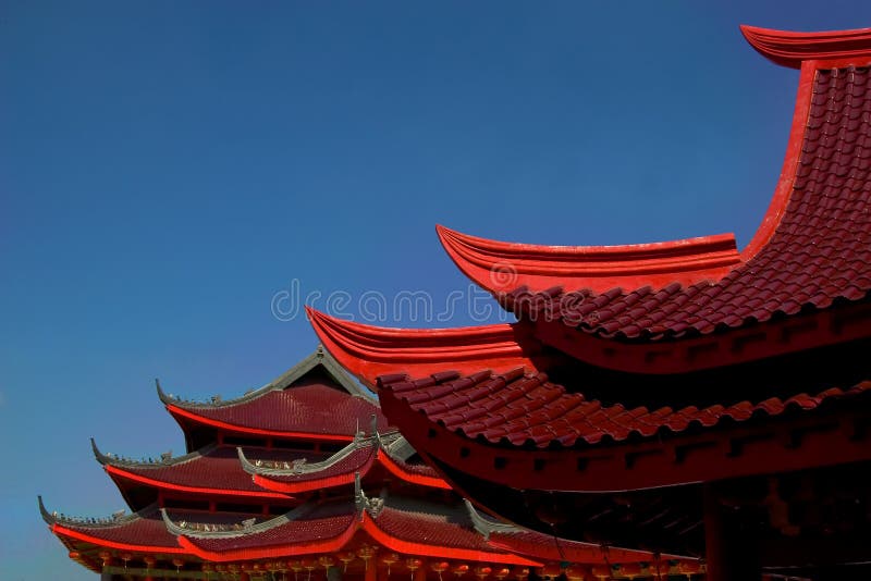
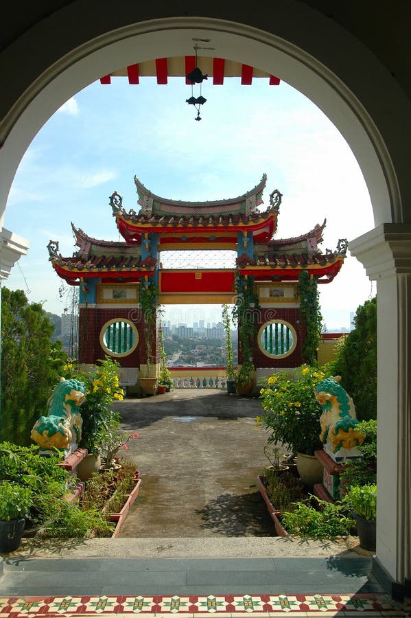
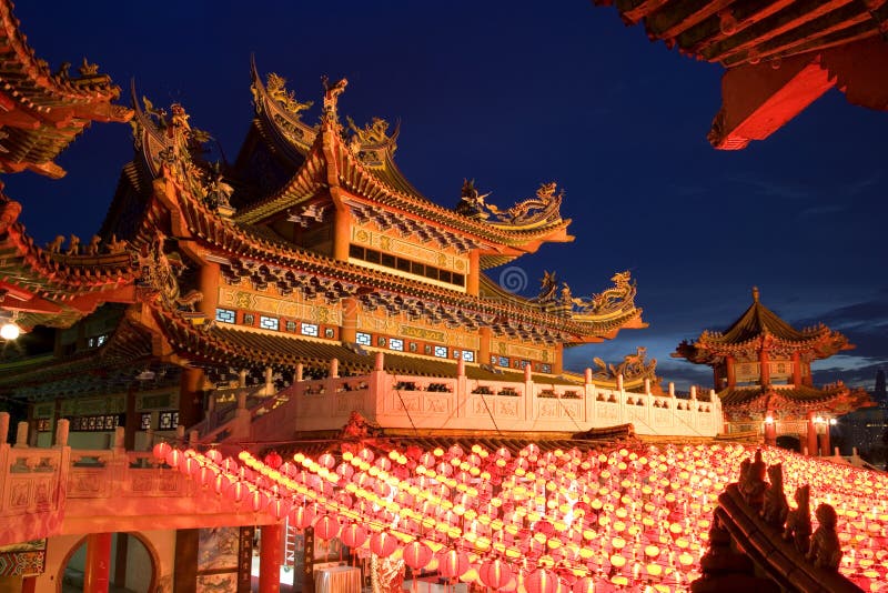
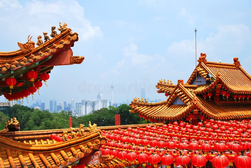
Chinese Temple with Guan Yin statue at riverside of of the River Kwai in Kanchanaburi Thailand. The Khwae Yai River (Thai: à ¹Âà ¸¡à ¹Ëà ¸â¢Ã ¹â°Ã ¸³à ¹Âà ¸âà ¸§à ¹Æà ¸«à ¸Âà ¹Ë, RTGS: Maenam Khwae Yai), also known as the Si Sawat is a river in western Thailand. It has its source in the Tenasserim Hills and flows for about 380 kilometres (240 mi) through Sangkhla Buri, Si Sawat, and Mueang Districts of Kanchanaburi Province, where it merges with the Khwae Noi to form the Mae Klong River at Pak Phraek subdistrict. The River Kwai, more correctly Khwae Noi (Thai: à ¹Âà ¸âà ¸§à ¸â¢Ã ¹â°Ã ¸Âà ¸¢) or Khwae Sai Yok (Thai: à ¹Âà ¸âà ¸§à ¹âà ¸âà ¸£à ¹âà ¸¢à ¸â), is a river in western Thailand. It rises to the east of the Salween in the north-south spine of the Bilauktaung range near, but not over the border with Burma. It begins at the confluence of Ranti, Songkalia and Bikhli Rivers. At Kanchanaburi it merges with the Khwae Yai River to form the Mae Klong river, which empties into the Gulf of Thailand at Samut Songkhram.
圖片編號:
46546660
拍攝者:
Tuayai
點數下載
| 授權類型 | 尺寸 | 像素 | 格式 | 點數 | |
|---|---|---|---|---|---|
| 標準授權 | XS | 480 x 318 | JPG | 13 | |
| 標準授權 | S | 800 x 530 | JPG | 15 | |
| 標準授權 | M | 2128 x 1409 | JPG | 18 | |
| 標準授權 | L | 2747 x 1819 | JPG | 20 | |
| 標準授權 | XL | 3475 x 2301 | JPG | 22 | |
| 標準授權 | MAX | 4928 x 3264 | JPG | 23 | |
| 標準授權 | TIFF | 6969 x 4616 | TIF | 39 | |
| 進階授權 | WEL | 4928 x 3264 | JPG | 88 | |
| 進階授權 | PEL | 4928 x 3264 | JPG | 88 | |
| 進階授權 | UEL | 4928 x 3264 | JPG | 88 |
XS
S
M
L
XL
MAX
TIFF
WEL
PEL
UEL
| 標準授權 | 480 x 318 px | JPG | 13 點 |
| 標準授權 | 800 x 530 px | JPG | 15 點 |
| 標準授權 | 2128 x 1409 px | JPG | 18 點 |
| 標準授權 | 2747 x 1819 px | JPG | 20 點 |
| 標準授權 | 3475 x 2301 px | JPG | 22 點 |
| 標準授權 | 4928 x 3264 px | JPG | 23 點 |
| 標準授權 | 6969 x 4616 px | TIF | 39 點 |
| 進階授權 | 4928 x 3264 px | JPG | 88 點 |
| 進階授權 | 4928 x 3264 px | JPG | 88 點 |
| 進階授權 | 4928 x 3264 px | JPG | 88 點 |







 +886-2-8978-1616
 +886-2-2078-5115


