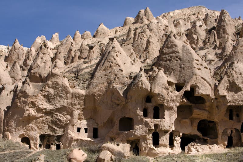
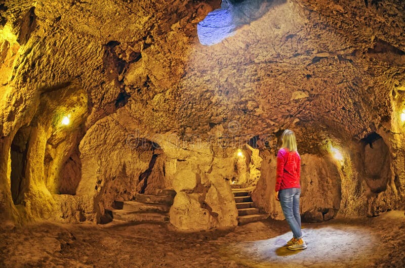
Uchisar castle - a 60-meter cliff, located at 1,400 meters above sea level. The first mention of the fortress belong to the Hittite period. When Seljuks with fortresses Bashhisar in ÃÅrgüp and Ortahisar played an important defensive role. Between the fortress there was a whole system of signals by means of which was the transfer of information from a distance. Water is supplied by a 3-kilometer water pipeline. In 1398, under pressure from forces Beyazit II fortress capitulated. After this, the Ottomans captured the region. By 1530 to 2663 human lives Uchisar Inside the fortress, all indented with numerous tunnels and rooms.
圖片編號:
49019088
拍攝者:
Valery109
點數下載
| 授權類型 | 尺寸 | 像素 | 格式 | 點數 | |
|---|---|---|---|---|---|
| 標準授權 | XS | 480 x 320 | JPG | 13 | |
| 標準授權 | S | 800 x 533 | JPG | 15 | |
| 標準授權 | M | 2121 x 1414 | JPG | 18 | |
| 標準授權 | L | 2738 x 1825 | JPG | 20 | |
| 標準授權 | XL | 3464 x 2309 | JPG | 22 | |
| 標準授權 | MAX | 5472 x 3648 | JPG | 23 | |
| 標準授權 | TIFF | 7739 x 5159 | TIF | 39 | |
| 進階授權 | WEL | 5472 x 3648 | JPG | 88 | |
| 進階授權 | UEL | 5472 x 3648 | JPG | 88 |
XS
S
M
L
XL
MAX
TIFF
WEL
UEL
| 標準授權 | 480 x 320 px | JPG | 13 點 |
| 標準授權 | 800 x 533 px | JPG | 15 點 |
| 標準授權 | 2121 x 1414 px | JPG | 18 點 |
| 標準授權 | 2738 x 1825 px | JPG | 20 點 |
| 標準授權 | 3464 x 2309 px | JPG | 22 點 |
| 標準授權 | 5472 x 3648 px | JPG | 23 點 |
| 標準授權 | 7739 x 5159 px | TIF | 39 點 |
| 進階授權 | 5472 x 3648 px | JPG | 88 點 |
| 進階授權 | 5472 x 3648 px | JPG | 88 點 |








 +886-2-8978-1616
 +886-2-2078-5115


