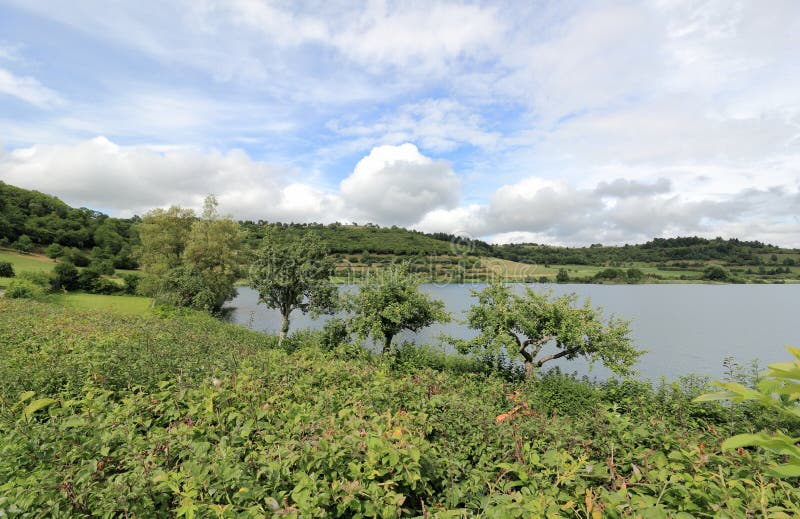
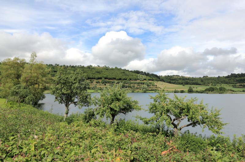
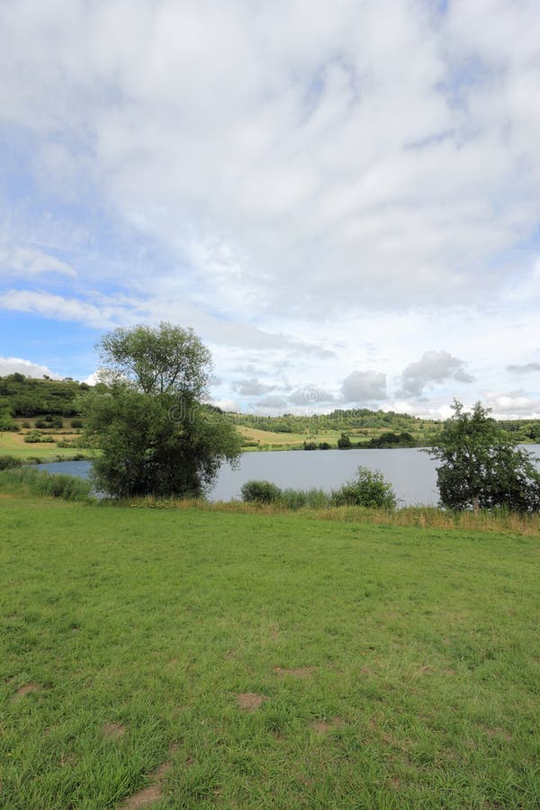
The municipality of Schalkenmehren lies in the Vulkaneifel, a part of the Eifel known for its volcanic history, geographical and geological features, and even ongoing activity today, including gases that sometimes well up from the earth. It is roughly 4 km southsoutheast of Daun as the crow flies, at the northeast foot of the Hoher List, a stratovolcano which is home to an observatory. Several volcanic lakes, like the Schalkenmehren Maar, the Weinfeld Maar and the Gemünd Maar, lie within the municipalityââ¬â¢s limits.
圖片編號:
58695487
拍攝者:
Eugenz
點數下載
| 授權類型 | 尺寸 | 像素 | 格式 | 點數 | |
|---|---|---|---|---|---|
| 標準授權 | XS | 480 x 311 | JPG | 13 | |
| 標準授權 | S | 800 x 519 | JPG | 15 | |
| 標準授權 | M | 2150 x 1394 | JPG | 18 | |
| 標準授權 | L | 2776 x 1800 | JPG | 20 | |
| 標準授權 | XL | 3512 x 2277 | JPG | 22 | |
| 標準授權 | MAX | 5074 x 3290 | JPG | 23 | |
| 標準授權 | TIFF | 7176 x 4653 | TIF | 39 | |
| 進階授權 | WEL | 5074 x 3290 | JPG | 88 | |
| 進階授權 | PEL | 5074 x 3290 | JPG | 88 | |
| 進階授權 | UEL | 5074 x 3290 | JPG | 88 |
XS
S
M
L
XL
MAX
TIFF
WEL
PEL
UEL
| 標準授權 | 480 x 311 px | JPG | 13 點 |
| 標準授權 | 800 x 519 px | JPG | 15 點 |
| 標準授權 | 2150 x 1394 px | JPG | 18 點 |
| 標準授權 | 2776 x 1800 px | JPG | 20 點 |
| 標準授權 | 3512 x 2277 px | JPG | 22 點 |
| 標準授權 | 5074 x 3290 px | JPG | 23 點 |
| 標準授權 | 7176 x 4653 px | TIF | 39 點 |
| 進階授權 | 5074 x 3290 px | JPG | 88 點 |
| 進階授權 | 5074 x 3290 px | JPG | 88 點 |
| 進階授權 | 5074 x 3290 px | JPG | 88 點 |


 +886-2-8978-1616
 +886-2-2078-5115


