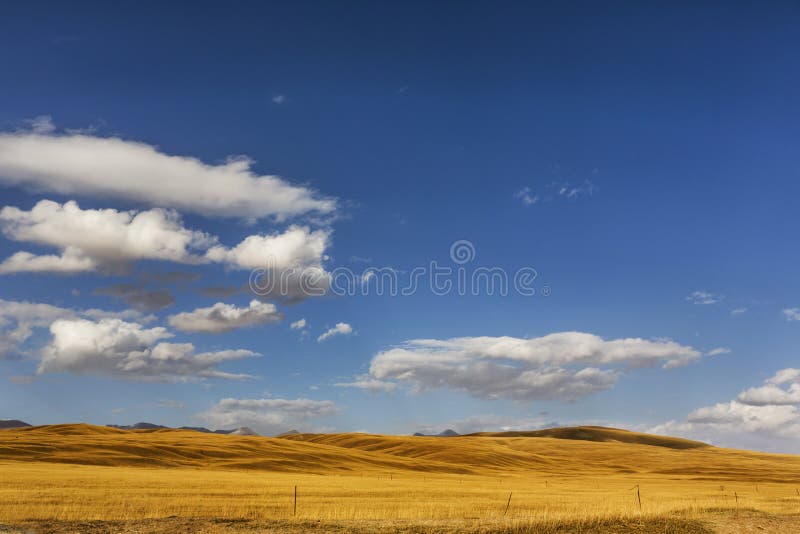
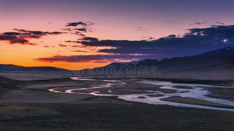
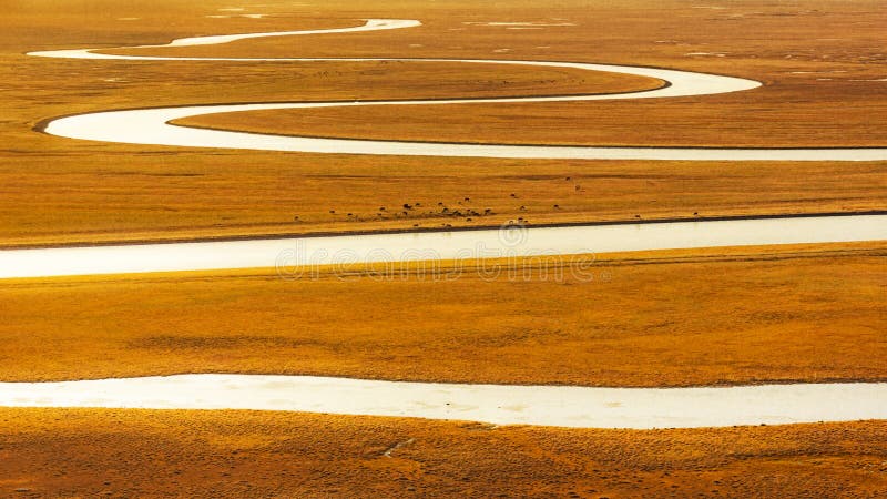
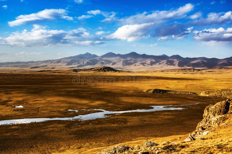
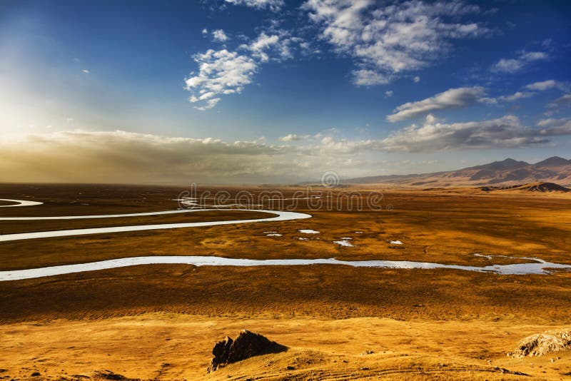
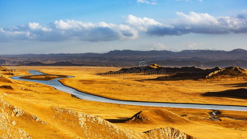
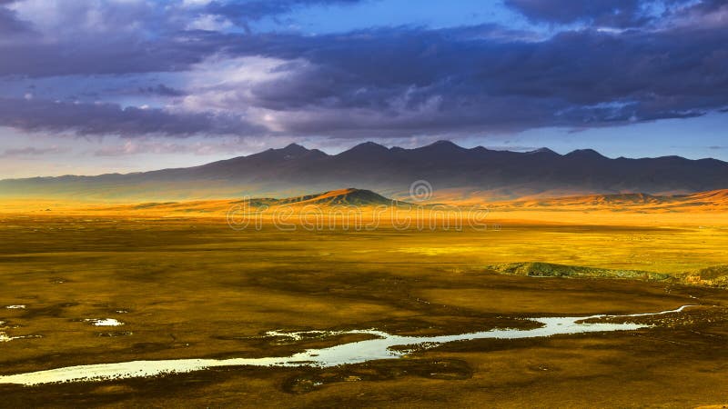
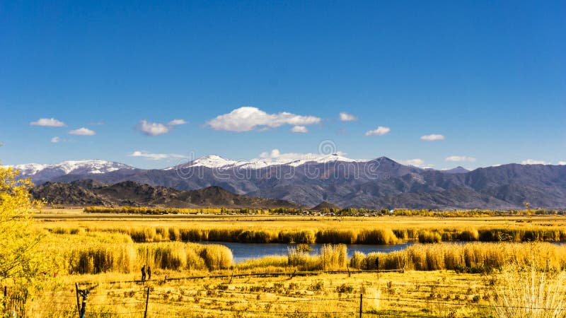
Bayanbulak grasslands, located in Xinjiang Bayingolin Mongol Autonomous State and static County in the northwest, the Tianshan Mountains in the middle of the Intermountain basin in, surrounded by snow capped mountains, about 2500 meters above sea level, 23835 square kilometers area is China's second largest grassland, second only to the DOS steppe in Inner Mongolia. Bayinbuluke Mongolian meaning rich spring, flat lying grasslands, abundant aquatic plants is typical grass meadow steppe, one of the base of animal husbandry in Xinjiang is also the most important. There is snow capped mountains under the land of idyllic beauty eighteen bend, the Kaidu River, more elegant and charming Swan lake.
圖片編號:
59163967
拍攝者:
Qin0377
點數下載
| 授權類型 | 尺寸 | 像素 | 格式 | 點數 | |
|---|---|---|---|---|---|
| 標準授權 | XS | 480 x 320 | JPG | 13 | |
| 標準授權 | S | 800 x 533 | JPG | 15 | |
| 標準授權 | M | 2121 x 1414 | JPG | 18 | |
| 標準授權 | L | 2738 x 1825 | JPG | 20 | |
| 標準授權 | XL | 3464 x 2309 | JPG | 22 | |
| 標準授權 | MAX | 6000 x 4000 | JPG | 23 | |
| 標準授權 | TIFF | 8485 x 5657 | TIF | 39 | |
| 進階授權 | WEL | 6000 x 4000 | JPG | 88 | |
| 進階授權 | PEL | 6000 x 4000 | JPG | 88 | |
| 進階授權 | UEL | 6000 x 4000 | JPG | 88 |
XS
S
M
L
XL
MAX
TIFF
WEL
PEL
UEL
| 標準授權 | 480 x 320 px | JPG | 13 點 |
| 標準授權 | 800 x 533 px | JPG | 15 點 |
| 標準授權 | 2121 x 1414 px | JPG | 18 點 |
| 標準授權 | 2738 x 1825 px | JPG | 20 點 |
| 標準授權 | 3464 x 2309 px | JPG | 22 點 |
| 標準授權 | 6000 x 4000 px | JPG | 23 點 |
| 標準授權 | 8485 x 5657 px | TIF | 39 點 |
| 進階授權 | 6000 x 4000 px | JPG | 88 點 |
| 進階授權 | 6000 x 4000 px | JPG | 88 點 |
| 進階授權 | 6000 x 4000 px | JPG | 88 點 |








 +886-2-8978-1616
 +886-2-2078-5115


