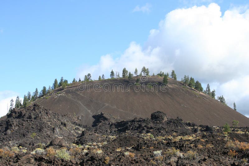
Lava Butte is a cinder cone that erupted 7000 years ago and poured out a lava field that covered some ten square miles of evergreen forest south of what is now Bend, Oregon, and displaced the Deschutes River as much as a mile west of its former path. This popular site for hikers and tourists is a part of the Newberry National Volcanic Monument, which encompasses numerous geologic features between Bend to the north and Lapine to the south.
圖片編號:
6231659
拍攝者:
Toynutz
點數下載
| 授權類型 | 尺寸 | 像素 | 格式 | 點數 | |
|---|---|---|---|---|---|
| 標準授權 | XS | 480 x 320 | JPG | 13 | |
| 標準授權 | S | 800 x 533 | JPG | 15 | |
| 標準授權 | M | 2121 x 1414 | JPG | 18 | |
| 標準授權 | L | 2738 x 1825 | JPG | 20 | |
| 標準授權 | XL | 3456 x 2304 | JPG | 22 | |
| 標準授權 | MAX | 4242 x 2828 | JPG | 23 | |
| 標準授權 | TIFF | 4888 x 3258 | TIF | 39 | |
| 進階授權 | WEL | 4242 x 2828 | JPG | 88 | |
| 進階授權 | PEL | 4242 x 2828 | JPG | 88 | |
| 進階授權 | UEL | 4242 x 2828 | JPG | 88 |
XS
S
M
L
XL
MAX
TIFF
WEL
PEL
UEL
| 標準授權 | 480 x 320 px | JPG | 13 點 |
| 標準授權 | 800 x 533 px | JPG | 15 點 |
| 標準授權 | 2121 x 1414 px | JPG | 18 點 |
| 標準授權 | 2738 x 1825 px | JPG | 20 點 |
| 標準授權 | 3456 x 2304 px | JPG | 22 點 |
| 標準授權 | 4242 x 2828 px | JPG | 23 點 |
| 標準授權 | 4888 x 3258 px | TIF | 39 點 |
| 進階授權 | 4242 x 2828 px | JPG | 88 點 |
| 進階授權 | 4242 x 2828 px | JPG | 88 點 |
| 進階授權 | 4242 x 2828 px | JPG | 88 點 |


 +886-2-8978-1616
 +886-2-2078-5115


