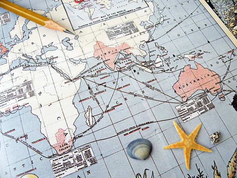
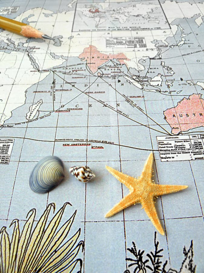
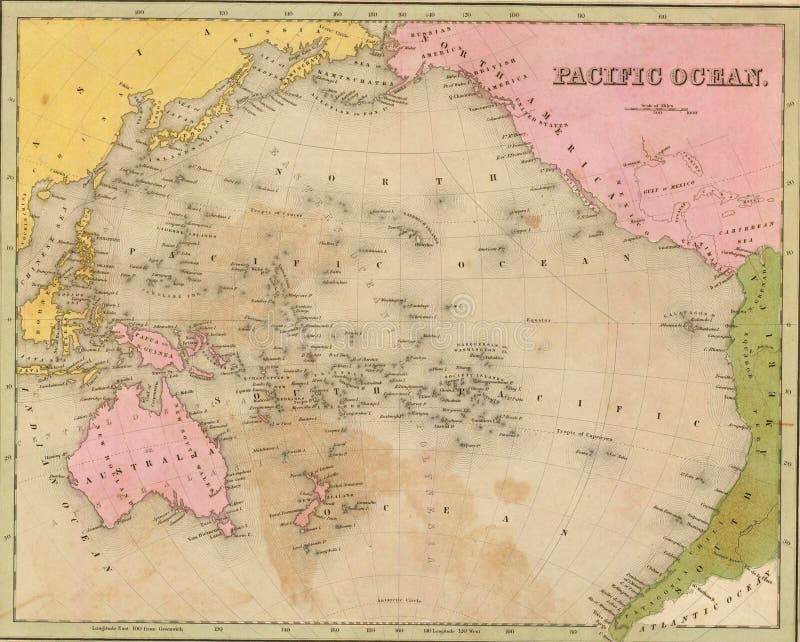
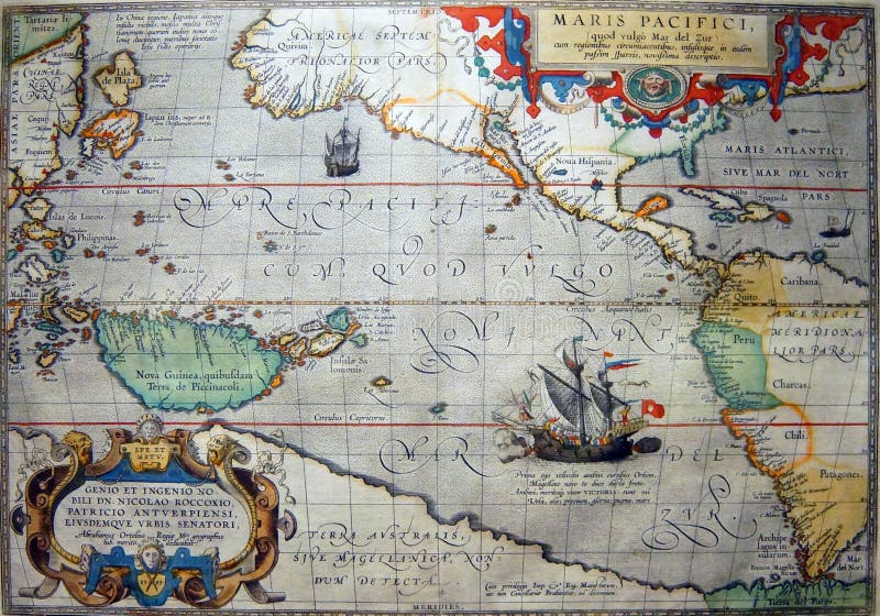
An image showing an antique vintage map depicting the study of the geography and history of the British Empire - India, Australia and parts of the Southeast Asia in the Pacific region, which were territories of the British Empire - an orange brown starfish and a few sea shells are placed on the map to add to the mood of sea travel. Navigation lines drawn on the old antique sea chart or map shows the sailing routes of ancient olden times, across the Pacific Ocean, Sea of India, etc. Horizontal color format. Concept image for exotic romantic travel and tourism, ancient trade travels and maritime history, planning a trip.
圖片編號:
6702386
拍攝者:
Moth
點數下載
| 授權類型 | 尺寸 | 像素 | 格式 | 點數 | |
|---|---|---|---|---|---|
| 標準授權 | XS | 480 x 360 | JPG | 13 | |
| 標準授權 | S | 800 x 600 | JPG | 15 | |
| 標準授權 | M | 2000 x 1499 | JPG | 18 | |
| 標準授權 | L | 2582 x 1936 | JPG | 20 | |
| 標準授權 | XL | 3414 x 2560 | JPG | 22 | |
| 標準授權 | MAX | 4000 x 2999 | JPG | 23 | |
| 標準授權 | TIFF | 4828 x 3620 | TIF | 39 | |
| 進階授權 | WEL | 4000 x 2999 | JPG | 88 | |
| 進階授權 | PEL | 4000 x 2999 | JPG | 88 | |
| 進階授權 | UEL | 4000 x 2999 | JPG | 88 |
XS
S
M
L
XL
MAX
TIFF
WEL
PEL
UEL
| 標準授權 | 480 x 360 px | JPG | 13 點 |
| 標準授權 | 800 x 600 px | JPG | 15 點 |
| 標準授權 | 2000 x 1499 px | JPG | 18 點 |
| 標準授權 | 2582 x 1936 px | JPG | 20 點 |
| 標準授權 | 3414 x 2560 px | JPG | 22 點 |
| 標準授權 | 4000 x 2999 px | JPG | 23 點 |
| 標準授權 | 4828 x 3620 px | TIF | 39 點 |
| 進階授權 | 4000 x 2999 px | JPG | 88 點 |
| 進階授權 | 4000 x 2999 px | JPG | 88 點 |
| 進階授權 | 4000 x 2999 px | JPG | 88 點 |


 +886-2-8978-1616
 +886-2-2078-5115


