


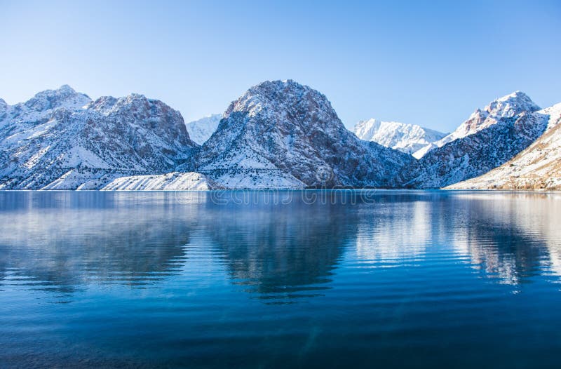
Iskanderkul is a mountain lake of glacial origin in Tajikistan's Sughd Province. It lies at an altitude of 2,195 metres (7,201 ft) on the northern slopes of the Gissar Range in the Fann Mountains. Triangular in shape, it has a surface area of 3.4 square kilometres (1.3 sq mi) and is up to 72 metres (236 ft) deep. Claimed to be one of the most beautiful mountain lakes in the former Soviet Union, it is a popular tourist destination. It was formed by the congestion of the Saratogh river. It is 134 km from Dushanbe and 23 km from the Dushanbeââ¬âKhujand road.[1] The lake takes its name from Alexander the Great: Iskander is the Persian pronunciation of Alexander, and kul is lake in Tajik. The outflow of the lake is the Iskander Darya, which joins the Yaghnob River to form the Fan Darya, a major left tributary of the Zeravshan River.
圖片編號:
73390643
拍攝者:
Primkulov
點數下載
| 授權類型 | 尺寸 | 像素 | 格式 | 點數 | |
|---|---|---|---|---|---|
| 標準授權 | XS | 480 x 320 | JPG | 13 | |
| 標準授權 | S | 800 x 533 | JPG | 15 | |
| 標準授權 | M | 2121 x 1414 | JPG | 18 | |
| 標準授權 | L | 2738 x 1825 | JPG | 20 | |
| 標準授權 | XL | 3464 x 2309 | JPG | 22 | |
| 標準授權 | MAX | 5298 x 3532 | JPG | 23 | |
| 標準授權 | TIFF | 7493 x 4995 | TIF | 39 | |
| 進階授權 | WEL | 5298 x 3532 | JPG | 88 | |
| 進階授權 | PEL | 5298 x 3532 | JPG | 88 | |
| 進階授權 | UEL | 5298 x 3532 | JPG | 88 |
XS
S
M
L
XL
MAX
TIFF
WEL
PEL
UEL
| 標準授權 | 480 x 320 px | JPG | 13 點 |
| 標準授權 | 800 x 533 px | JPG | 15 點 |
| 標準授權 | 2121 x 1414 px | JPG | 18 點 |
| 標準授權 | 2738 x 1825 px | JPG | 20 點 |
| 標準授權 | 3464 x 2309 px | JPG | 22 點 |
| 標準授權 | 5298 x 3532 px | JPG | 23 點 |
| 標準授權 | 7493 x 4995 px | TIF | 39 點 |
| 進階授權 | 5298 x 3532 px | JPG | 88 點 |
| 進階授權 | 5298 x 3532 px | JPG | 88 點 |
| 進階授權 | 5298 x 3532 px | JPG | 88 點 |


 +886-2-8978-1616
 +886-2-2078-5115


