


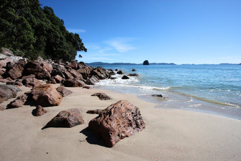
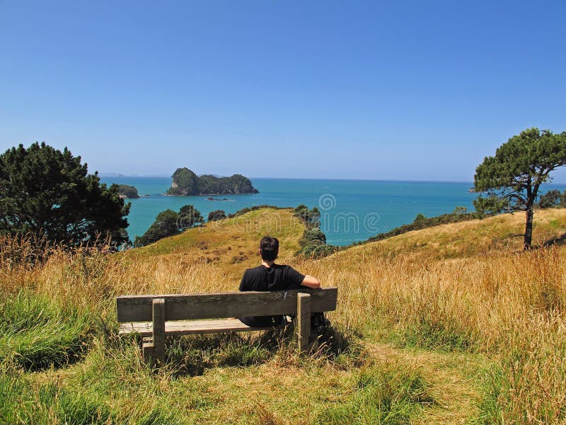
The Coromandel Peninsula on the North Island of New Zealand extends 85 kilometres north from the western end of the Bay of Plenty, forming a natural barrier to protect the Hauraki Gulf and the Firth of Thames in the west from the Pacific Ocean to the east. At its broadest point, it is 40 kilometres wide. Almost the entire population lies on the narrow strips along the Hauraki Gulf and Bay of Plenty coasts. In fine weather the peninsula is clearly visible from Auckland, the country's biggest city, which lies on the far shore of the Hauraki Gulf, 55 kilometres to the west. The peninsula is part of the local government areas of Thames-Coromandel District and the Waikato Region
圖片編號:
73667607
拍攝者:
Rodrigolourezini
點數下載
| 授權類型 | 尺寸 | 像素 | 格式 | 點數 | |
|---|---|---|---|---|---|
| 標準授權 | XS | 480 x 320 | JPG | 13 | |
| 標準授權 | S | 800 x 533 | JPG | 15 | |
| 標準授權 | M | 2121 x 1414 | JPG | 18 | |
| 標準授權 | L | 2738 x 1825 | JPG | 20 | |
| 標準授權 | XL | 3464 x 2309 | JPG | 22 | |
| 標準授權 | MAX | 5616 x 3744 | JPG | 23 | |
| 標準授權 | TIFF | 7942 x 5295 | TIF | 39 | |
| 進階授權 | WEL | 5616 x 3744 | JPG | 88 | |
| 進階授權 | PEL | 5616 x 3744 | JPG | 88 | |
| 進階授權 | UEL | 5616 x 3744 | JPG | 88 |
XS
S
M
L
XL
MAX
TIFF
WEL
PEL
UEL
| 標準授權 | 480 x 320 px | JPG | 13 點 |
| 標準授權 | 800 x 533 px | JPG | 15 點 |
| 標準授權 | 2121 x 1414 px | JPG | 18 點 |
| 標準授權 | 2738 x 1825 px | JPG | 20 點 |
| 標準授權 | 3464 x 2309 px | JPG | 22 點 |
| 標準授權 | 5616 x 3744 px | JPG | 23 點 |
| 標準授權 | 7942 x 5295 px | TIF | 39 點 |
| 進階授權 | 5616 x 3744 px | JPG | 88 點 |
| 進階授權 | 5616 x 3744 px | JPG | 88 點 |
| 進階授權 | 5616 x 3744 px | JPG | 88 點 |


 +886-2-8978-1616
 +886-2-2078-5115


