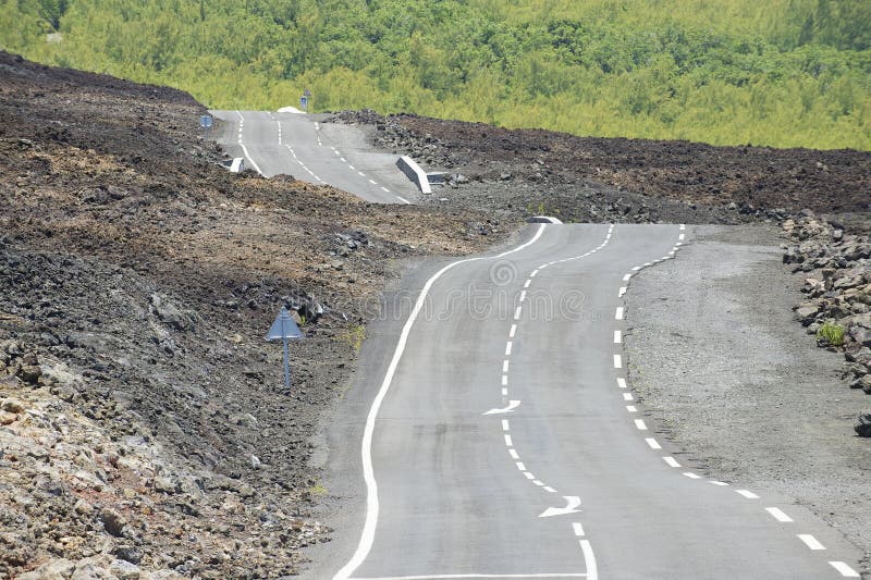
Hallingskarvet is a mountain range in southern Norway stretching from Geilo to Finse. The highest point is the 1,933-metre (6,342ÃÂ ft) tall mountain Folarskardnuten, the highest point in Buskerud county. In the north, there is a large dammed lake called Strandavatnet. The Bergensbanen railway line, which runs south of Hallingskarvet, has its highest stop at Finse Station (1,222 m).[1] In 2006, the Hallingskarvet mountain range became part of the Hallingskarvet National Park.
圖片編號:
79883401
拍攝者:
Baiaz5
點數下載
| 授權類型 | 尺寸 | 像素 | 格式 | 點數 | |
|---|---|---|---|---|---|
| 標準授權 | XS | 480 x 211 | JPG | 13 | |
| 標準授權 | S | 800 x 351 | JPG | 15 | |
| 標準授權 | M | 2613 x 1148 | JPG | 18 | |
| 標準授權 | L | 3373 x 1482 | JPG | 20 | |
| 標準授權 | XL | 4267 x 1874 | JPG | 22 | |
| 標準授權 | MAX | 5472 x 2404 | JPG | 23 | |
| 標準授權 | TIFF | 7739 x 3400 | TIF | 39 | |
| 進階授權 | WEL | 5472 x 2404 | JPG | 88 | |
| 進階授權 | PEL | 5472 x 2404 | JPG | 88 | |
| 進階授權 | UEL | 5472 x 2404 | JPG | 88 |
XS
S
M
L
XL
MAX
TIFF
WEL
PEL
UEL
| 標準授權 | 480 x 211 px | JPG | 13 點 |
| 標準授權 | 800 x 351 px | JPG | 15 點 |
| 標準授權 | 2613 x 1148 px | JPG | 18 點 |
| 標準授權 | 3373 x 1482 px | JPG | 20 點 |
| 標準授權 | 4267 x 1874 px | JPG | 22 點 |
| 標準授權 | 5472 x 2404 px | JPG | 23 點 |
| 標準授權 | 7739 x 3400 px | TIF | 39 點 |
| 進階授權 | 5472 x 2404 px | JPG | 88 點 |
| 進階授權 | 5472 x 2404 px | JPG | 88 點 |
| 進階授權 | 5472 x 2404 px | JPG | 88 點 |


 +886-2-8978-1616
 +886-2-2078-5115


