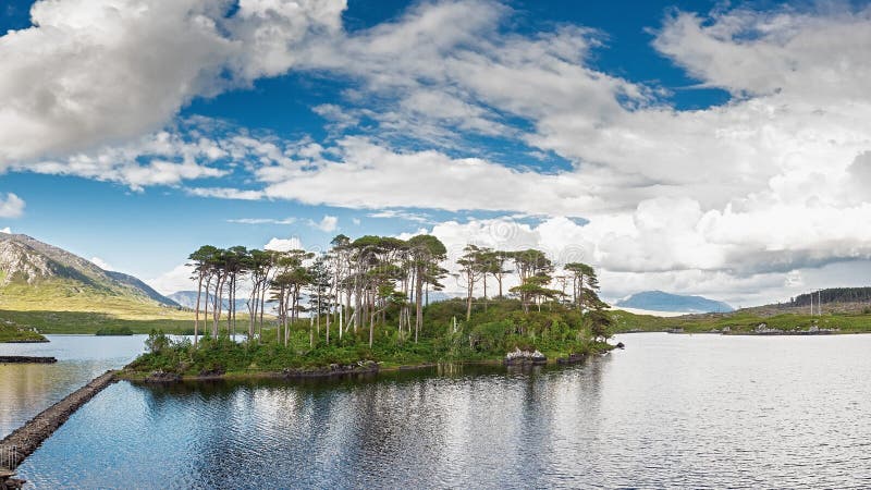
Connemara is a cultural region in County Galway, Ireland. The most common definition of the area is that it consists of West Galway; that is to say the part of the county west of Lough Corrib, contained by Killary Harbour, Galway Bay and the Atlantic Ocean. It has a strong association with traditional Irish culture. More restrictive definitions of Connemara define it as the historical territory of ConmhaÃÂcne Mara; just the far northwest of County Galway, bordering County Mayo. The area contains a vast part of the Connacht Irish-speaking Gaeltacht, which is a key part of the identity of the region and is the largest Gaeltacht in the country. The wider area of what is today known as Connemara was previously a sovereign kingdom known as Iar Connacht, under the kingship of the Ãâ Flaithbertaigh, until it became part of the Kingdom of Ireland in the 16th century.
圖片編號:
85276548
拍攝者:
Sarasanchezphoto
點數下載
| 授權類型 | 尺寸 | 像素 | 格式 | 點數 | |
|---|---|---|---|---|---|
| 標準授權 | XS | 480 x 320 | JPG | 13 | |
| 標準授權 | S | 800 x 533 | JPG | 15 | |
| 標準授權 | M | 2121 x 1414 | JPG | 18 | |
| 標準授權 | L | 2738 x 1825 | JPG | 20 | |
| 標準授權 | XL | 4080 x 2720 | JPG | 22 | |
| 標準授權 | MAX | 4242 x 2828 | JPG | 23 | |
| 標準授權 | TIFF | 5770 x 3847 | TIF | 39 | |
| 進階授權 | WEL | 4242 x 2828 | JPG | 88 | |
| 進階授權 | PEL | 4242 x 2828 | JPG | 88 | |
| 進階授權 | UEL | 4242 x 2828 | JPG | 88 |
XS
S
M
L
XL
MAX
TIFF
WEL
PEL
UEL
| 標準授權 | 480 x 320 px | JPG | 13 點 |
| 標準授權 | 800 x 533 px | JPG | 15 點 |
| 標準授權 | 2121 x 1414 px | JPG | 18 點 |
| 標準授權 | 2738 x 1825 px | JPG | 20 點 |
| 標準授權 | 4080 x 2720 px | JPG | 22 點 |
| 標準授權 | 4242 x 2828 px | JPG | 23 點 |
| 標準授權 | 5770 x 3847 px | TIF | 39 點 |
| 進階授權 | 4242 x 2828 px | JPG | 88 點 |
| 進階授權 | 4242 x 2828 px | JPG | 88 點 |
| 進階授權 | 4242 x 2828 px | JPG | 88 點 |


 +886-2-8978-1616
 +886-2-2078-5115


