


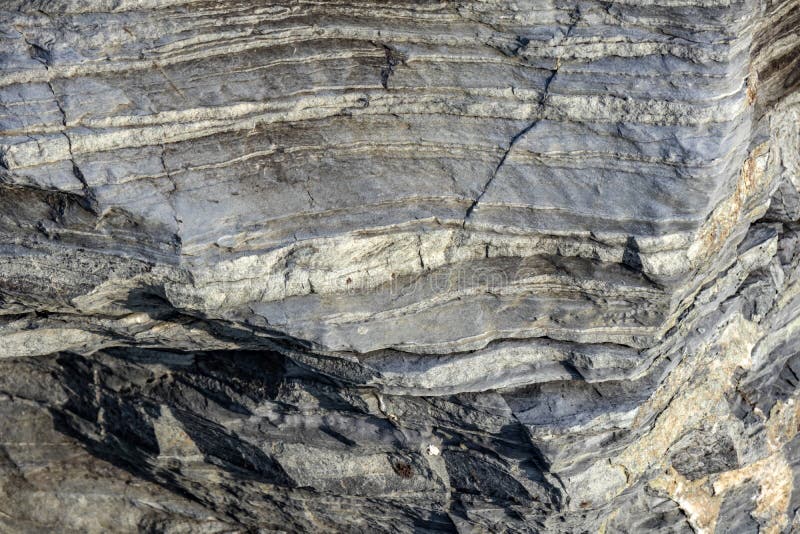
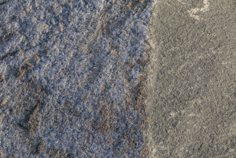
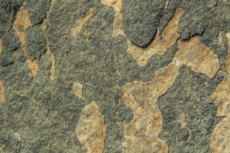
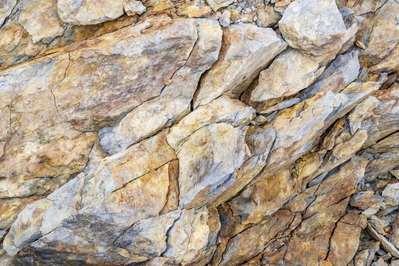
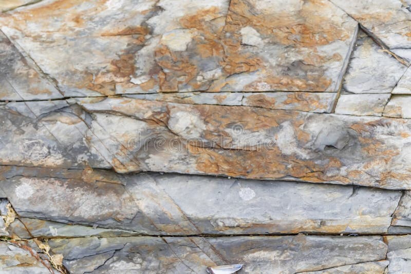
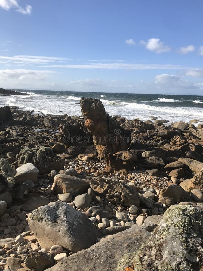
The island was adjoined to the mainland of Australia until the end of the last glacial period about 10,000 years ago. Tasmania has the world`s largest areas of dolerite, with many distinctive mountains and cliffs formed from this rock type. In the southern midlands as far south as Hobart, the dolerite is underlaid by sandstone and similar sedimentary stones. In the southwest, Precambrian quartzites were formed from very ancient sea sediments and form strikingly sharp ridges and ranges, such as Federation Peak or Frenchmans Cap. In the northeast and east, continental granites can be seen, such as at Freycinet, similar to coastal granites on mainland Australia. In the northwest and west, mineral-rich volcanic rock can be seen at Mount Read near Rosebery, or at Mount Lyell near Queenstown. Also present in the south and northwest is limestone with caves. The quartzite and dolerite areas in the higher mountains show evidence of glaciation, and much of Australia`s glaciated landscape is found on the Central Plateau and the Southwest. Cradle Mountain, another dolerite peak, for example, was a nunatak. The combination of these different rock types offers incredible scenery, much of it distinct from any other region of the world.
圖片編號:
88531702
拍攝者:
Chriskiely
點數下載
| 授權類型 | 尺寸 | 像素 | 格式 | 點數 | |
|---|---|---|---|---|---|
| 標準授權 | XS | 480 x 321 | JPG | 13 | |
| 標準授權 | S | 800 x 536 | JPG | 15 | |
| 標準授權 | M | 2116 x 1417 | JPG | 18 | |
| 標準授權 | L | 2732 x 1829 | JPG | 20 | |
| 標準授權 | XL | 3872 x 2592 | JPG | 22 | |
| 標準授權 | MAX | 4233 x 2834 | JPG | 23 | |
| 標準授權 | TIFF | 5476 x 3666 | TIF | 39 | |
| 進階授權 | UEL | 4233 x 2834 | JPG | 88 |
XS
S
M
L
XL
MAX
TIFF
UEL
| 標準授權 | 480 x 321 px | JPG | 13 點 |
| 標準授權 | 800 x 536 px | JPG | 15 點 |
| 標準授權 | 2116 x 1417 px | JPG | 18 點 |
| 標準授權 | 2732 x 1829 px | JPG | 20 點 |
| 標準授權 | 3872 x 2592 px | JPG | 22 點 |
| 標準授權 | 4233 x 2834 px | JPG | 23 點 |
| 標準授權 | 5476 x 3666 px | TIF | 39 點 |
| 進階授權 | 4233 x 2834 px | JPG | 88 點 |


 +886-2-8978-1616
 +886-2-2078-5115


