


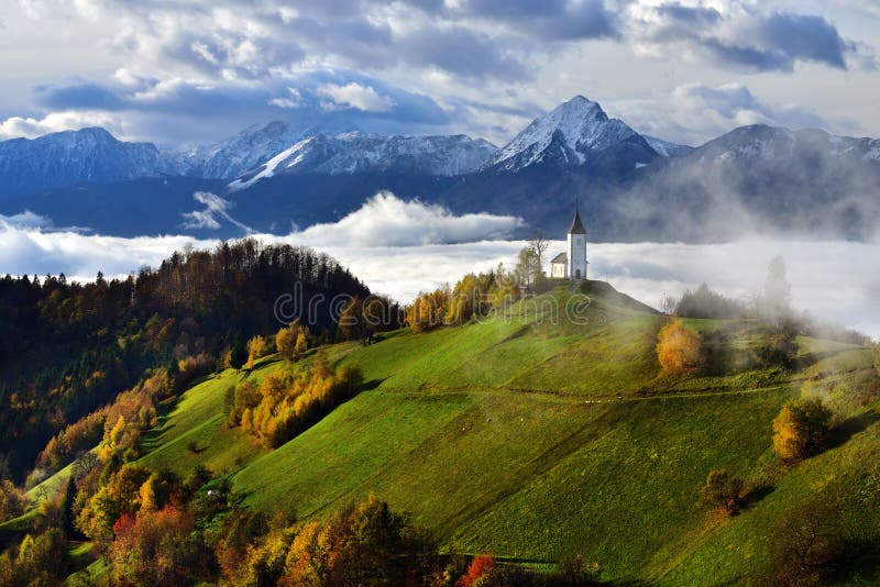
Stepantsmindaââ¬â¢s average annual precipitation is 790 mm. 31.1 inches. The town is dominated by large mountains on all sides. The most notable mountain of the region, Mount Kazbek, lies immediately to the west of town. The second most prominent peak, Mt. Shani, rises to an elevation of 4,451 meters 14,600 feet above sea level, 9 kilometers to the east of Stepantsminda. The town is located 10 kilometers to the south of the famous Darial Gorge.
圖片編號:
拍攝者:
Nanachelishvili
點數下載
| 授權類型 | 尺寸 | 像素 | 格式 | 點數 | |
|---|---|---|---|---|---|
| 標準授權 | XS | 360 x 480 | JPG | 13 | |
| 標準授權 | S | 600 x 800 | JPG | 15 | |
| 標準授權 | M | 1536 x 2048 | JPG | 18 | |
| 標準授權 | L | 1936 x 2581 | JPG | 20 | |
| 標準授權 | XL | 2449 x 3265 | JPG | 22 | |
| 標準授權 | MAX | 3000 x 4000 | JPG | 23 | |
| 標準授權 | TIFF | 2172 x 2896 | TIF | 39 | |
| 進階授權 | WEL | 3000 x 4000 | JPG | 88 | |
| 進階授權 | PEL | 3000 x 4000 | JPG | 88 | |
| 進階授權 | UEL | 3000 x 4000 | JPG | 88 |
XS
S
M
L
XL
MAX
TIFF
WEL
PEL
UEL
| 標準授權 | 360 x 480 px | JPG | 13 點 |
| 標準授權 | 600 x 800 px | JPG | 15 點 |
| 標準授權 | 1536 x 2048 px | JPG | 18 點 |
| 標準授權 | 1936 x 2581 px | JPG | 20 點 |
| 標準授權 | 2449 x 3265 px | JPG | 22 點 |
| 標準授權 | 3000 x 4000 px | JPG | 23 點 |
| 標準授權 | 2172 x 2896 px | TIF | 39 點 |
| 進階授權 | 3000 x 4000 px | JPG | 88 點 |
| 進階授權 | 3000 x 4000 px | JPG | 88 點 |
| 進階授權 | 3000 x 4000 px | JPG | 88 點 |


 +886-2-8978-1616
 +886-2-2078-5115


