


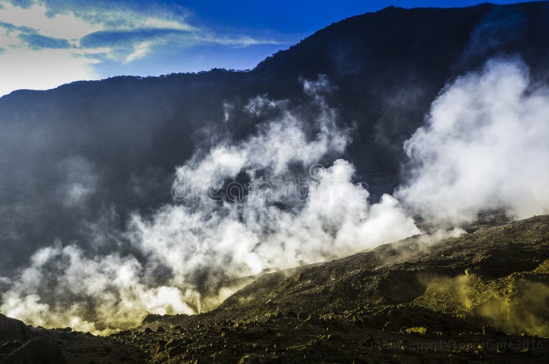
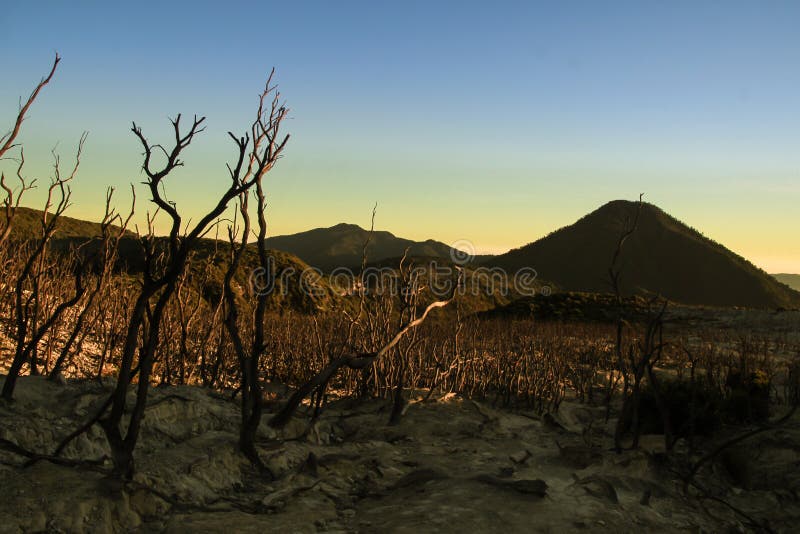
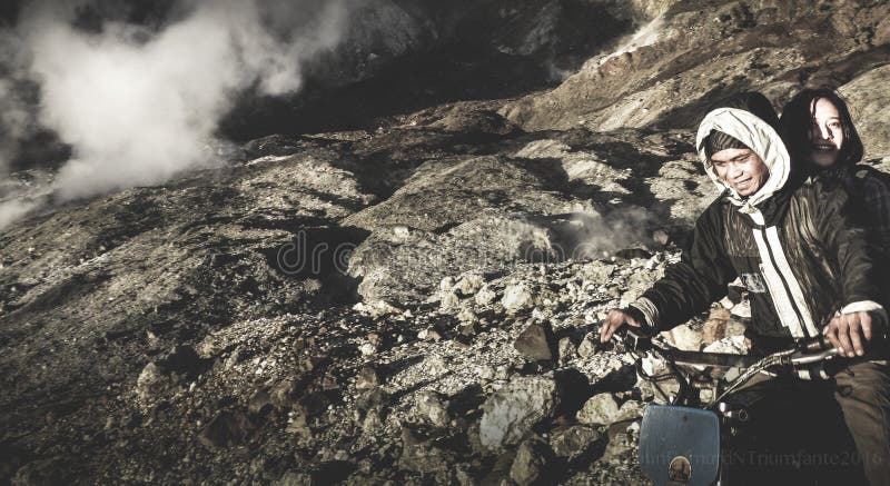
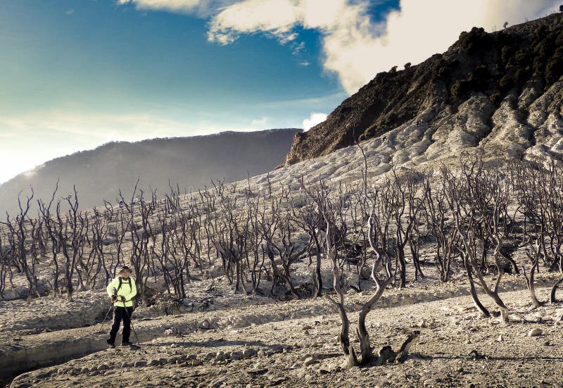
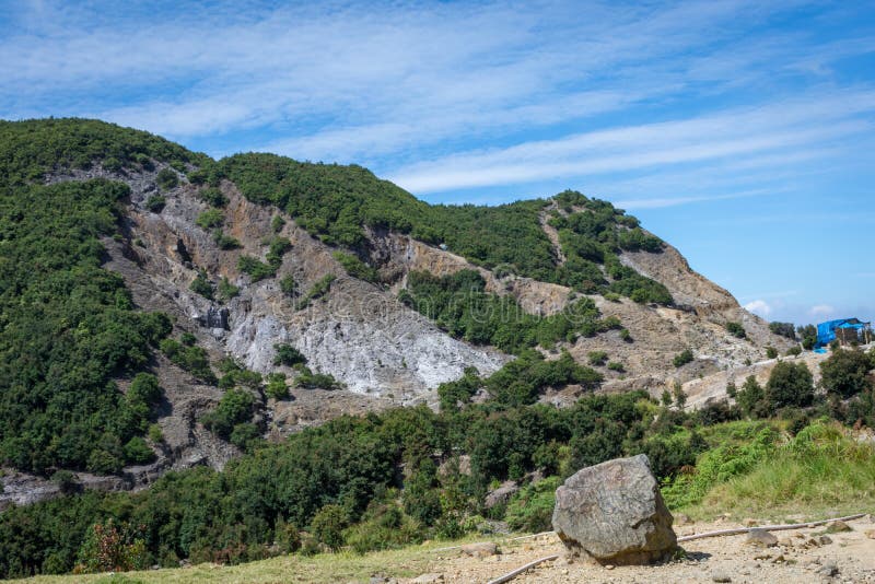
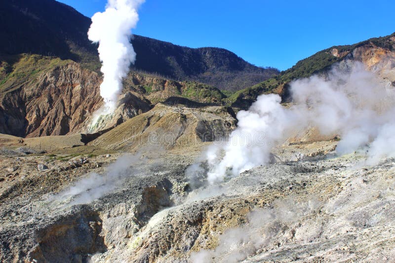
Mount Papandayan is a complex stratovolcano, located in Garut Regency, to the southeast of the city of Bandung in West Java, Indonesia. It is about 15 km to the southwest of the town of Garut. At the summit, there are four large craters which contain active fumarole fields. An eruption in 1772 caused the northeast flank to collapse producing a catastrophic debris avalanche that destroyed 40 villages and killed nearly 3,000 people. The eruption truncated the volcano into a broad shape with two peaks and a flat area 1.1 km wide with Alun-Alun crater in the middle, making the mountain appear as a twin volcano; one of the peaks is called Papandayan and the other Mount Puntang.[1]
圖片編號:
95306092
拍攝者:
Johnbernard80
點數下載
| 授權類型 | 尺寸 | 像素 | 格式 | 點數 | |
|---|---|---|---|---|---|
| 標準授權 | XS | 480 x 318 | JPG | 13 | |
| 標準授權 | S | 800 x 531 | JPG | 15 | |
| 標準授權 | M | 2126 x 1410 | JPG | 18 | |
| 標準授權 | L | 2745 x 1820 | JPG | 20 | |
| 標準授權 | XL | 3473 x 2303 | JPG | 22 | |
| 標準授權 | MAX | 4608 x 3056 | JPG | 23 | |
| 標準授權 | TIFF | 6517 x 4322 | TIF | 39 | |
| 進階授權 | WEL | 4608 x 3056 | JPG | 88 | |
| 進階授權 | PEL | 4608 x 3056 | JPG | 88 | |
| 進階授權 | UEL | 4608 x 3056 | JPG | 88 |
XS
S
M
L
XL
MAX
TIFF
WEL
PEL
UEL
| 標準授權 | 480 x 318 px | JPG | 13 點 |
| 標準授權 | 800 x 531 px | JPG | 15 點 |
| 標準授權 | 2126 x 1410 px | JPG | 18 點 |
| 標準授權 | 2745 x 1820 px | JPG | 20 點 |
| 標準授權 | 3473 x 2303 px | JPG | 22 點 |
| 標準授權 | 4608 x 3056 px | JPG | 23 點 |
| 標準授權 | 6517 x 4322 px | TIF | 39 點 |
| 進階授權 | 4608 x 3056 px | JPG | 88 點 |
| 進階授權 | 4608 x 3056 px | JPG | 88 點 |
| 進階授權 | 4608 x 3056 px | JPG | 88 點 |


 +886-2-8978-1616
 +886-2-2078-5115


