


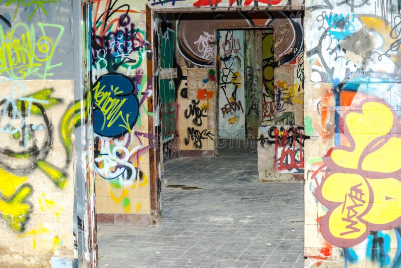
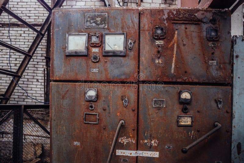
Ultra High Resolution 2D Map of an abandoned factory photographed with a drone in Kuala Lumpur, Malaysia. Geotagging was done for this project, without the use of physical Ground Control Points GCPs Test inspection project done using automatic waypoint flight.
圖片編號:
拍攝者:
Deming9120
點數下載
| 授權類型 | 尺寸 | 像素 | 格式 | 點數 | |
|---|---|---|---|---|---|
| 標準授權 | XS | 480 x 353 | JPG | 13 | |
| 標準授權 | S | 800 x 588 | JPG | 15 | |
| 標準授權 | M | 2020 x 1484 | JPG | 18 | |
| 標準授權 | L | 2609 x 1916 | JPG | 20 | |
| 標準授權 | XL | 3300 x 2424 | JPG | 22 | |
| 標準授權 | MAX | 9700 x 7125 | JPG | 23 | |
| 標準授權 | TIFF | 13718 x 10076 | TIF | 39 | |
| 進階授權 | UEL | 9700 x 7125 | JPG | 88 |
XS
S
M
L
XL
MAX
TIFF
UEL
| 標準授權 | 480 x 353 px | JPG | 13 點 |
| 標準授權 | 800 x 588 px | JPG | 15 點 |
| 標準授權 | 2020 x 1484 px | JPG | 18 點 |
| 標準授權 | 2609 x 1916 px | JPG | 20 點 |
| 標準授權 | 3300 x 2424 px | JPG | 22 點 |
| 標準授權 | 9700 x 7125 px | JPG | 23 點 |
| 標準授權 | 13718 x 10076 px | TIF | 39 點 |
| 進階授權 | 9700 x 7125 px | JPG | 88 點 |


 +886-2-8978-1616
 +886-2-2078-5115


