


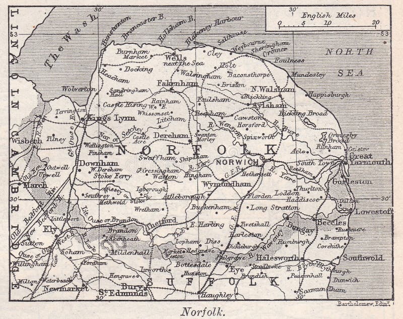
The Harmsworth Encyclopaedia 1930s / 1940s - Social history. Vintage 1900s map of Novaya Zemlya. Novaya Zemlya, also known as Nova Zembla, is an archipelago in the Arctic Ocean in northern Russia and the extreme northeast of Europe, the easternmost point of Europe lying at Cape Flissingsky on the Northern island. West of Novaya Zemlya is the Barents Sea, and to the east is the Kara Sea.
圖片編號:
177066700
拍攝者:
Mjb6661
點數下載
| 授權類型 | 尺寸 | 像素 | 格式 | 點數 | |
|---|---|---|---|---|---|
| 標準授權 | XS | 480 x 385 | JPG | 13 | |
| 標準授權 | S | 800 x 641 | JPG | 15 | |
| 標準授權 | M | 2074 x 1663 | JPG | 18 | |
| 標準授權 | L | 2497 x 2002 | JPG | 20 | |
| 標準授權 | XL | 3158 x 2532 | JPG | 22 | |
| 標準授權 | MAX | 3868 x 3101 | JPG | 23 | |
| 標準授權 | TIFF | 2933 x 2352 | TIF | 39 | |
| 進階授權 | UEL | 3868 x 3101 | JPG | 88 |
XS
S
M
L
XL
MAX
TIFF
UEL
| 標準授權 | 480 x 385 px | JPG | 13 點 |
| 標準授權 | 800 x 641 px | JPG | 15 點 |
| 標準授權 | 2074 x 1663 px | JPG | 18 點 |
| 標準授權 | 2497 x 2002 px | JPG | 20 點 |
| 標準授權 | 3158 x 2532 px | JPG | 22 點 |
| 標準授權 | 3868 x 3101 px | JPG | 23 點 |
| 標準授權 | 2933 x 2352 px | TIF | 39 點 |
| 進階授權 | 3868 x 3101 px | JPG | 88 點 |


 +886-2-8978-1616
 +886-2-2078-5115


